The Forts That Helped Save a Town, with Historian and Civil War expert Phil Photiou
Many people pass through Plymouth every day without realising they are following the route of one of the most important defensive systems in the English Civil War.
When war broke out in 1642, Plymouth declared its support for Parliament, making it a key target for Royalist forces. To protect the town from attack, an extensive network of earthworks, ditches, gates and forts was built around the landward side of Plymouth. These defences would play a crucial role in helping the town resist repeated attempts to capture it.
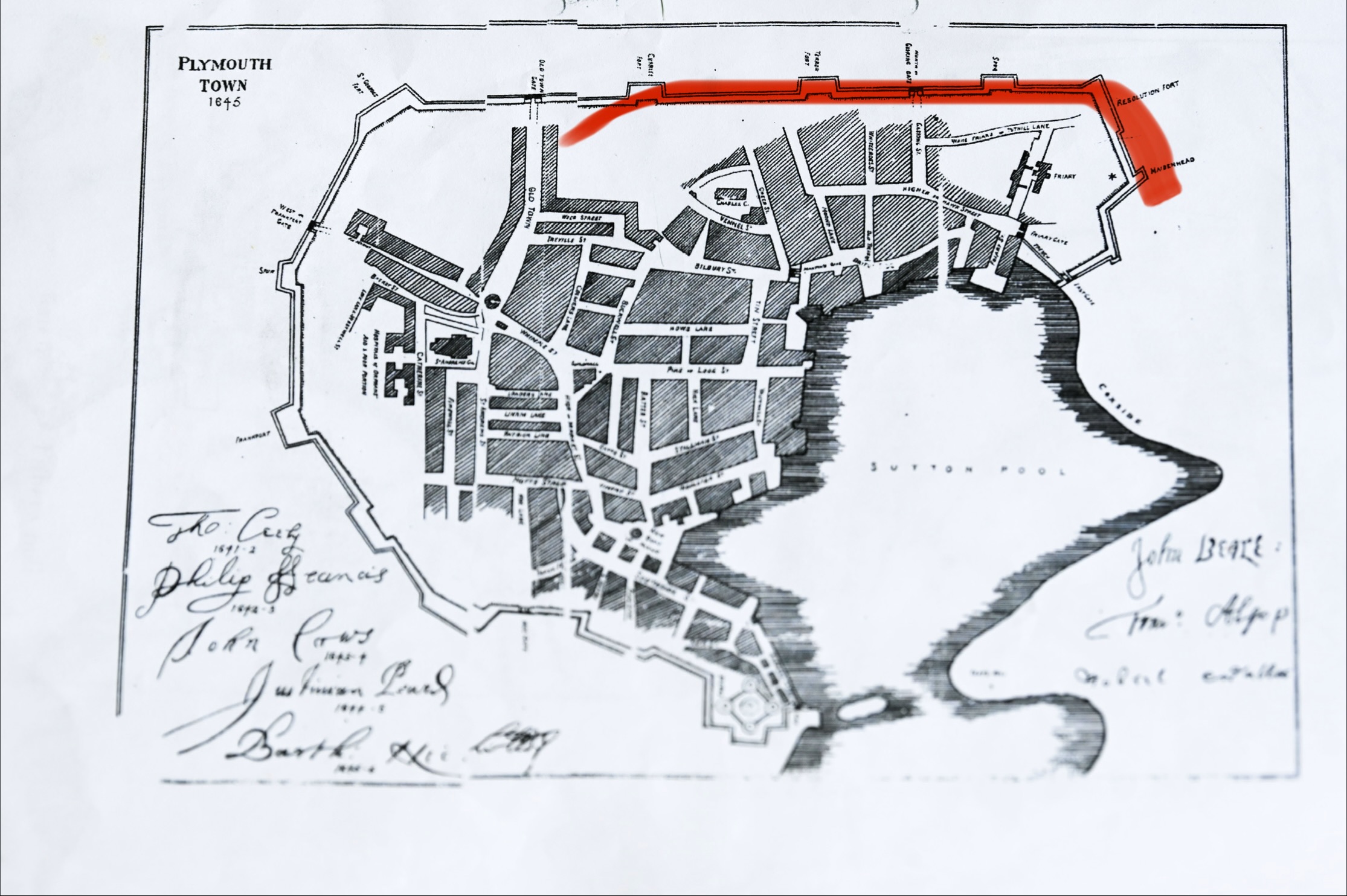
Plymouth’s Civil War defences consisted of both an outer line of fortifications encircling the town and a separate inner defensive line. This article looks at the surviving remains of the inner defences.
Although much of the system has disappeared beneath roads, homes and modern developments, traces of it can still be found today.
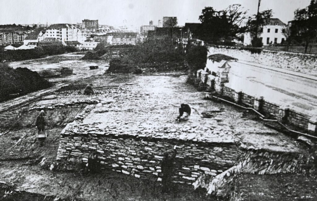
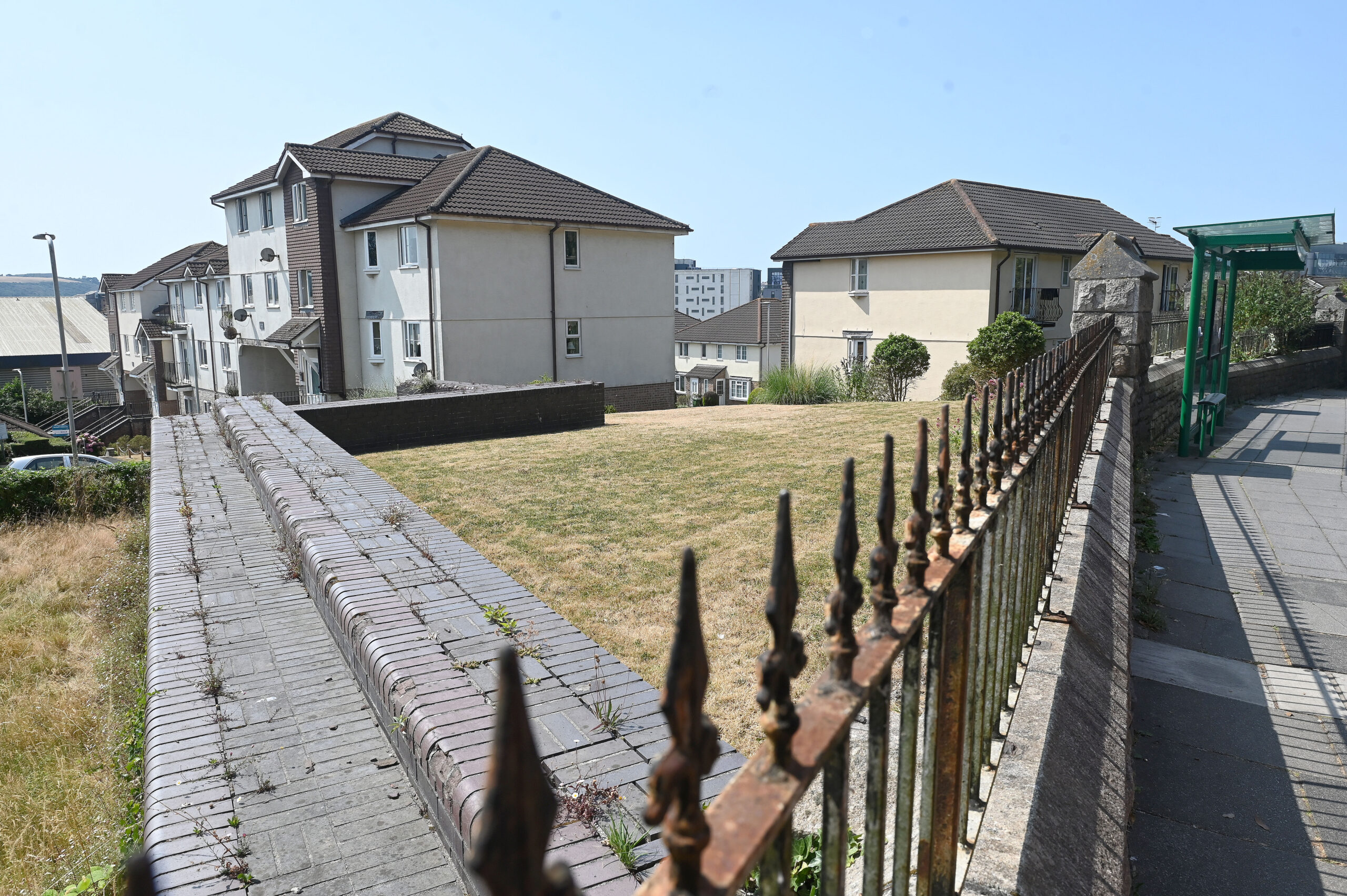
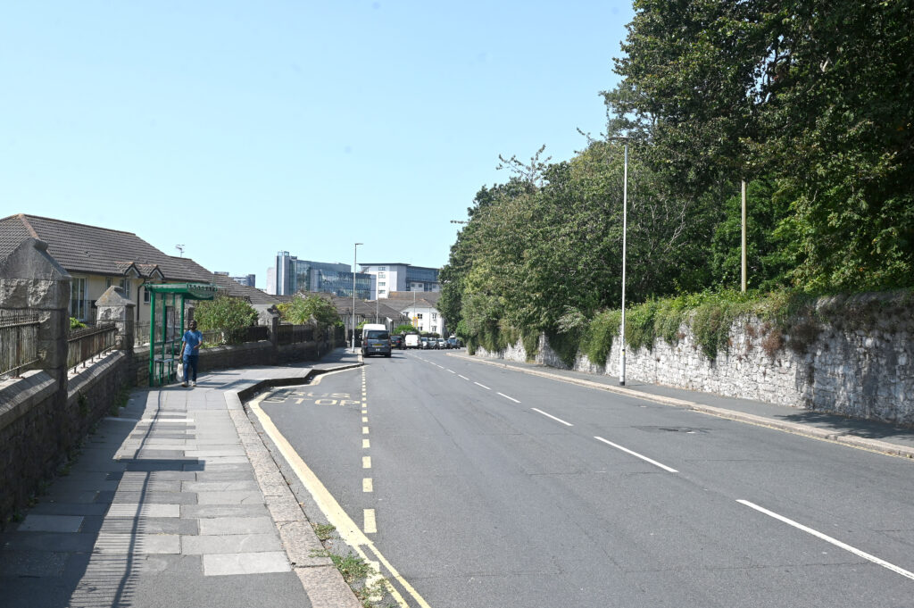
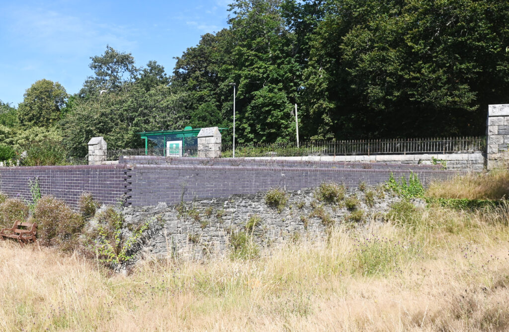
One of the best known surviving sites is Resolution Fort, where sections of the original inner defensive works remain visible behind Ebrington Street, close to the Dunelm retail complex and just a short walk from the junction of Grenville Road and Greenbank Road. Standing here, it is possible to imagine soldiers keeping watch over the surrounding countryside, ready to defend the town against advancing enemy forces. The fort formed part of a much larger chain of defensive positions that stretched around Plymouth.

The line of defence continued towards Gascoigne Gate (now Gasking Street), one of the main entrances through the Civil War fortifications. Anyone approaching Plymouth from the east would have encountered this heavily defended gateway, where access to the town could be tightly controlled during times of conflict.
Nearby, the deep ditch that runs alongside Beaumont Park is believed to follow the route of the Civil War defences. While softened by centuries of change, its size still hints at the scale of the earthworks that once surrounded Plymouth. At the time, this ditch would have formed a significant obstacle to any attacking force, slowing their advance and leaving them exposed to defenders positioned on the ramparts above.
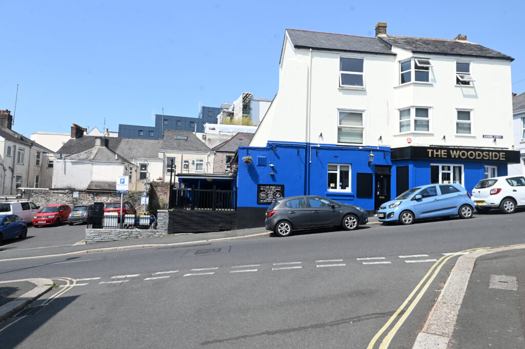
From there, the inner defensive line continued towards Charles Fort, which stood close to the area now occupied by the police station at Charles Cross. Although the fort itself has long since vanished beneath later development, historians believe this was another key strongpoint protecting the eastern approaches to the town.
Together, Resolution Fort, Gascoigne Gate, the Beaumont Park ditch and Charles Fort formed part of a carefully planned inner defensive network designed to protect Plymouth during one of the most turbulent periods in its history.
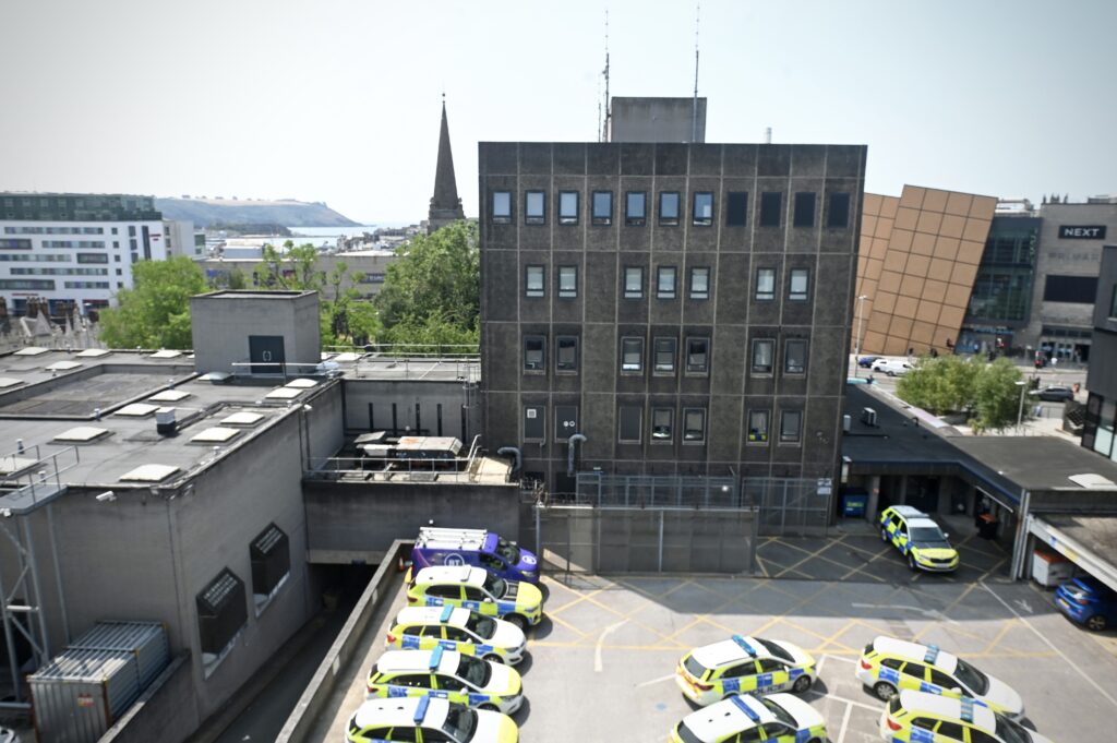
Today, only fragments remain, often hidden in plain sight among parks, roads and buildings. Yet these surviving features tell the story of a town that stood firm when surrounded by enemy forces. More than 380 years later, Plymouth’s Civil War defences remain a remarkable reminder of the determination, engineering and resilience that helped shape the city’s history.
The next time you walk past Beaumont Park or visit Resolution Fort, take a moment to look beyond the modern landscape. Beneath your feet lies the outline of the fortifications that once defended Plymouth when the future of the town hung in the balance.
Photographs © Wayne Perry / Plymouth Post